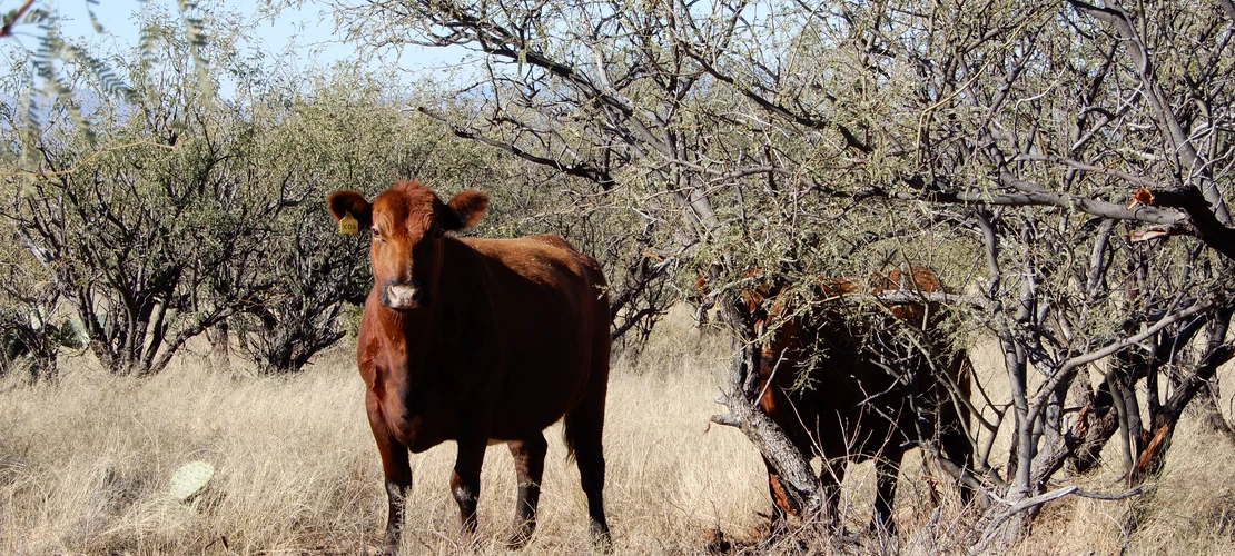
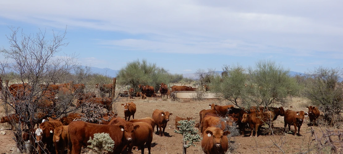
The Livestock Use database provides access to documents and information related to the grazing use and management of the Santa Rita Experimental Range (SRER) since 1908.
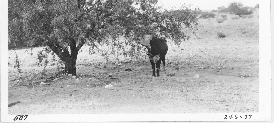
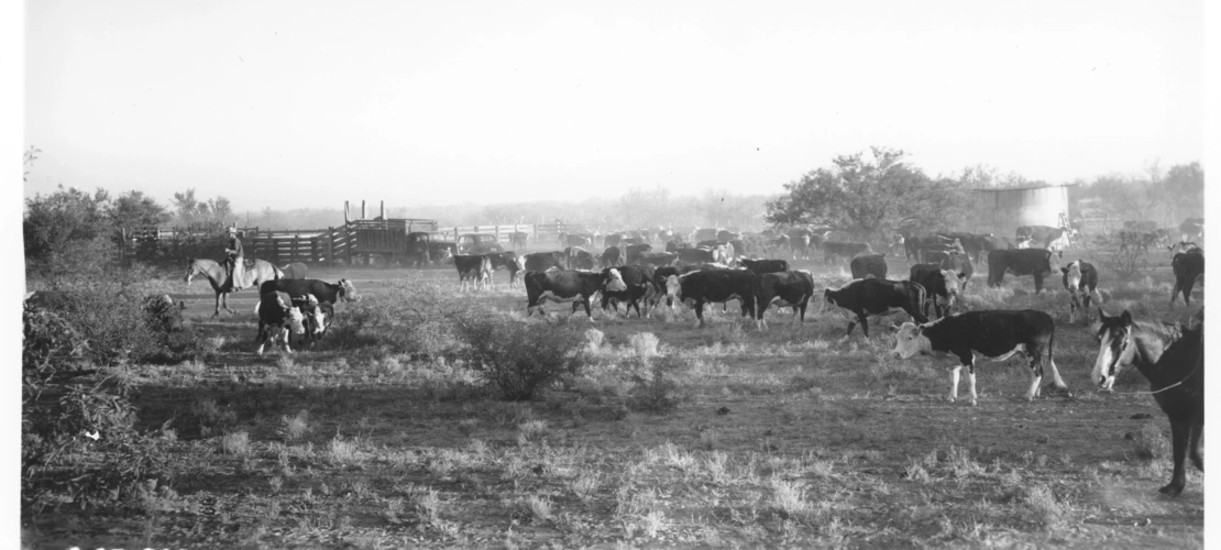
Livestock (cow, calf, and bull cattle) are privately owned. The management of their grazing on the SRER is a collaborative process between the owners, Santa Rita Ranch, and the SRER since 1972. That collaboration grew and matured in 2006 when a new adaptive management approach was applied to the planning and management of grazing.
Researchers, instructors, and other interested parties are advised to consult the pages listed below to learn the specific location, timing, and the number of livestock expected in each pasture; as well as the actual use in those areas. Historic grazing plans are also available for reference. Pasture and range boundaries to be used on Geographic Information Systems (GIS) to support grazing research are available at Spatial Data.
Comparison of Planned Livestock Use and Actual Use Since 2006
Download the current Livestock Management Plan on the SRER

Monthly Livestock Use by Pasture Since 1908
Livestock Grazing History
History for Individual Pastures
History of Total Use
History of Pasture Size
