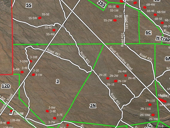
This section provides access to a database including all current and archived spatial data available for the Santa Rita Experimental Range (SRER).
Data are provided in shapefiles (*shp) format, NAD 83 UTM Zone 12, and KML [keyhole markup language] file format for use on Geographic Information Systems and Google Earth software, respectively.

Current Spatial Data
Current SRER Spatial Data are provided for download in GIS shapefile format, NAD 83 UTM Zone 12, and KML file format (keyhole markup language) for use in Google Earth.

Archived Spatial Data (2001 - 2008)
Archived SRER Spatial Data from 2001 to 2008 are available for download in ArcInfo export .e00 format, UTM Zone 12.

