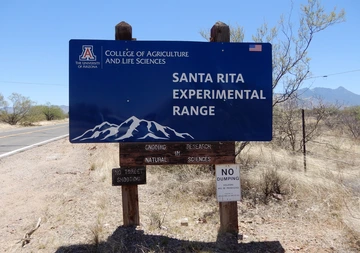
The Santa Rita Experimental Range (SRER) is located 35 miles south of Tucson in Pima County, Arizona, at the foot of the northwestern edge of the Santa Rita Mountains. The Florida Station, located in the Florida Canyon of the Santa Rita Mountains, is the SRER headquarters.
To reach the Florida Station, from Exit 63 of the I-19, drive on Continental Road following signs for Madera Canyon. Turn then right on Whitehouse Road, and continue past milepost 7 to Road 62. Drive on Road 62 for 0.4 miles to Road 62A, then drive on Road 62A for 2.8 miles to Florida Canyon.
General and detailed maps showing the location and accessibility of the SRER and the Florida Station headquarters, as well as land property and roads, can be downloaded SRER and Florida Station (SRER HQ) Maps and Accessibility.
Other maps for research purposes can be downloaded at Static Maps. Vector data files to be used with Geographic Information System software can be downloaded at Spatial Data.
Santa Rita Experimental Range
27000 S. Florida Canyon
Green Valley, AZ 85614
United States of America

