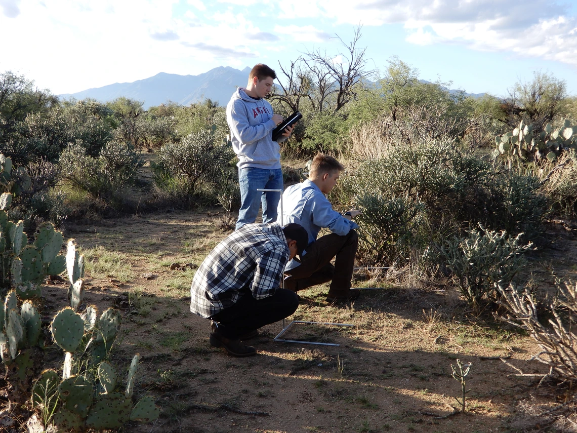
Grass utilization measurements following grazing are regularly taken within each pasture of the Santa Rita Experimental Range (SRER) to inform livestock grazing management decisions.
Grass utilization is assessed along 100-pace transects spread across pastures and run in the same general location and direction at each measurement. The percent of herbaceous material removed by livestock is estimated using utilization classes (10, 30, 50, 70, 90) according to the grazed class method (Schmutz 1978). Utilization per transect is calculated using the percent ungrazed plant method as described by Roach (1950).
The database 'grass utilization' available below for download reports average grass utilization by livestock in the pastures used by the Large Herd. The spreadsheet includes the location of the transect where utilization was estimated and the month of that measurement. More details are provided in the accompanying layout (*xlsx) and note files (*docx).
References
Roach, M. E.. 1950. Estimating perennial grass utilization on semidesert cattle ranges by percentage of ungrazed plants. Journal of Range Management, 182-185.
Schmutz, E.M. 1978.& Estimating range use with grazed-class photo guides. University of Arizona Cooperative Extension Service and Agricultural Station. Bulletin, A-73. pp. 1-16
Average grass utilization by grazing year since 2010


