Skip to main content
Search
search
search
search
menu
menu
Santa Rita Experimental Range
home
home
close
close
Search
search
Main navigation
Home
About Us
Overview
Mission and Opportunities
Organization and Structure
Description
History
YouTube SRER Playlists
Research
Overview
Policies
Research and Access Applications
Research Equipment and Lab Space
Examples of Current Research Projects
Publications
RISE Symposia
Data Resources
Overview
Instructions for Use, Citations, and Acknowledgment
Data for download
Events & Education
Calendar
Education
Discovery Fridays
Visiting
Overview
Visiting the SRER
Using Facilities
Organizing Events and Meetings
Partners
Support
Contact Us
People
Location
Home
News
News
Image
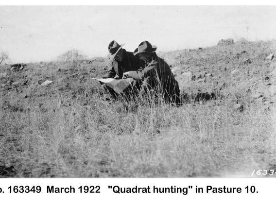
The SRER Historical Research Archive is back online!
May 4, 2026
Read more
Image
SAVE THE DATE for the 22nd RISE SYMPOSIUM on 26 September 2026
April 23, 2026
Read more
Image
2026 Discovery Friday Spring Seminar Series Now Online
Jan. 17, 2026
Read more
Image
SRER and NEON featured in Arizona Daily Star article!
Oct. 27, 2025
Read more
Image
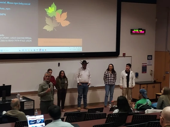
2025 RISE Symposium
Nov. 13, 2025
Read more
Image
2025 RISE Symposium
Sept. 8, 2025
Read more
Image
Discovery Fridays
Jan. 15, 2025
Read more
Image
2024 RISE Symposium
Nov. 9, 2024
Read more
Image
30-Year Collaboration Between the SRER and NEON!
May 6, 2024
Read more
Image
SRER Scaled quail (Callipepla squamata) population survey
Feb. 21, 2024
Read more
Pagination
…
1
2
…
Next ›
Next page
Last »
Last page
Log in